

Building a data layer beneath desert agriculture
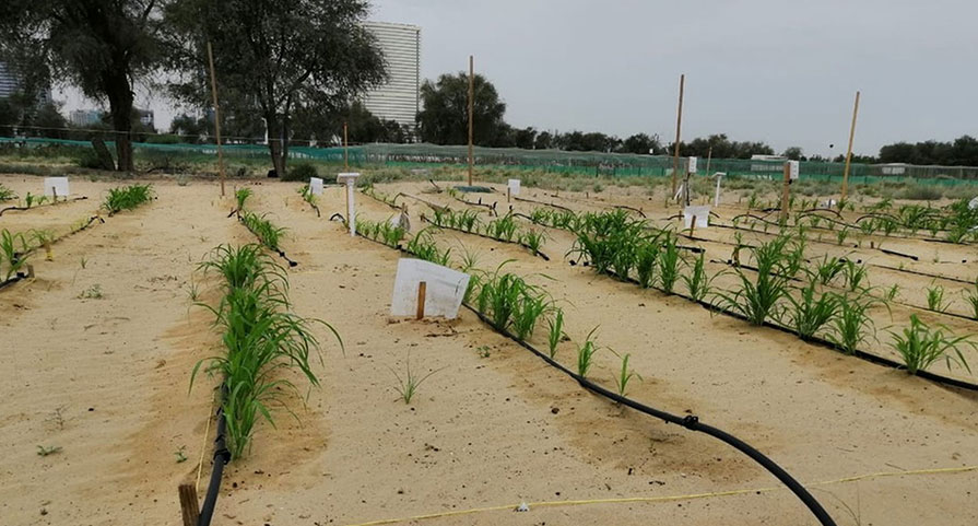
Desert Control was changing the physical properties of sandy soil. Pycno technology and connected Pycno Terra sensors helped make that transformation observable below the surface.
The challenge
You cannot manage what you cannot see
A crop at the surface can show whether a land-restoration experiment succeeded, but it cannot explain everything happening beneath it. In highly permeable sandy soils, water can move quickly beyond the active root zone. For Desert Control, persistent field measurements offered a way to observe the soil environment itself rather than relying only on irrigation volumes, weather observations or crop appearance.
Sense the profile
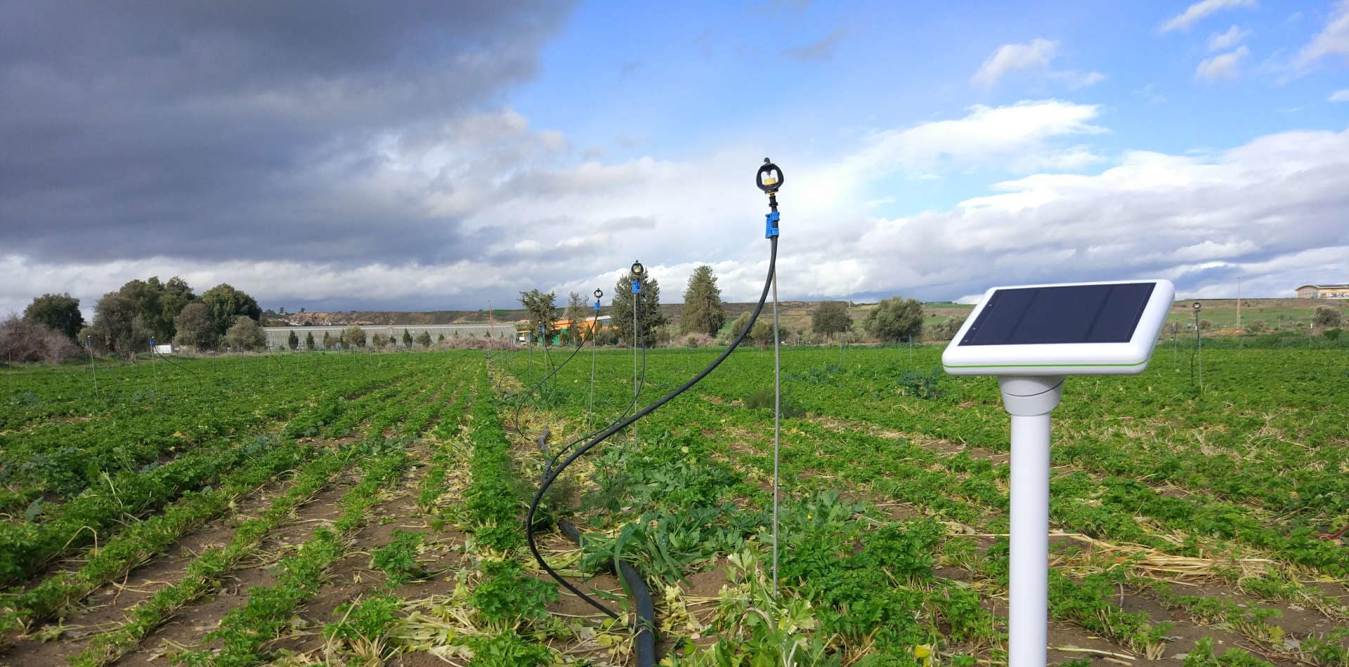
Terra sensors in a 60 cm configuration brought measurement deeper into the soil profile, closer to the part of the environment that determines how effectively irrigation remains available to plants.
Connect remote sites
4G connectivity reduced the need to retrieve measurements manually from the field and supported monitoring in locations where continuously visiting every sensor would be impractical.
Create a usable record
Pycno technology provided part of the digital monitoring layer surrounding the deployment, allowing field measurements to become a persistent dataset rather than isolated readings.
What we learned
The sensor is not the experiment. It makes the experiment measurable.
Desert Control's innovation addresses the soil itself. The role of sensing is different: it provides evidence about how that modified environment behaves after treatment and irrigation.
This distinction matters when new agricultural technologies move from demonstration plots toward commercial deployment. Repeatable measurements make it easier to compare sites, refine practices and distinguish a visible success from a process that can be understood and reproduced.
The opportunity
Every restored hectare can also become a source of evidence
Continuous sensing creates the possibility of comparing soils, treatments, crops, irrigation strategies and seasons across deployments. At scale, this can turn land restoration from a collection of individual projects into an increasingly measurable and optimisable system.